***DIRECTIONS AT BOTTOM OF POST***

In August, Leah had a six week surgery rotation in Asheville, North Carolina. She stayed there all week which meant if I wanted to see her (which I did), I had to make the two hour drive from Knoxville every Friday evening after work.

This didn't really bother me because I like Asheville. Prior to Leah's stint in Asheville, we had only been there for a quick fourth of July weekend last year. We got a brief tour of Looking Glass (we did Sundial Crack and some single pitch stuff on the North Face), and ate at a few nice restaurants. Plus, the elevation makes it a good 10 degrees cooler than Knoxville during the Summer.
 |
| Thinking about The Last of the Mohicans |
 |
| Can't stop thinking about The Last of the Mohicans. |

Although North Carolina is known for being tight lipped about it's climbing areas, the morale was high after using the information on Mountain Project to easily find Cathy's Creek the weekend before. So we studied the Underworld page on Mountain Project and drove 1.5 hours Northeast to the Gorge.
Immediately things went wrong. We arrived at sunset, and all the roads seemed to have different names than what the directions indicated. This would have been fine except there is almost no 4G in the area. So using Google Maps was not an option. We drove down a winding dirt road for about 5 miles looking for specific trail markers, but never found them. Lost and tired, we set up camp. Despite being frustrated, the free camping(very rare in the South), deafening cicadas, and remoteness made it completely worth it.
 |
| Nice campsite on the wrong side of Linville Gorge. |
 |
 |
| Lost and consulting Mountain Project. |
 |
| Don't you see the trail? Totally obvious! |
 |
| Don't all McDonalds have vaulted ceilings and pianos? Classy! |

 |
| Faint trail into woods. A large rock 15 feet left of trail(can see part of it in photo). |
 |
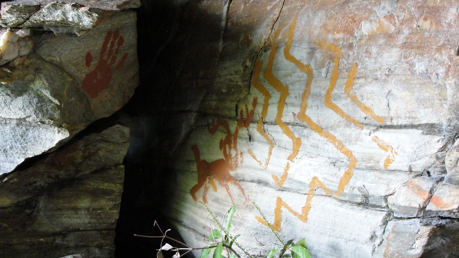
| Example of burn zone. |
 |
| Leah at top of Underworld. Probably humming the theme song to The Last of the Mohicans in her head. |
 |
| Anchors at top of Underworld. |

With rappelling out now out of the question, we were left with option B- the down scramble. Neither of us were excited about this because the description sounds a little scary, but it ended up being reasonable. We walked left past the anchors and pushed along a very faint trail through some rhododendrons. Eventually the trail heads downhill and you come to a large tree with a tattered rope tied around it.
 |
| Fixed rope. |
 |
| Leah lowering down easy slab approach on fixed ropes. |
 |
| First view of Underworld. |
The views are amazing.

The feel is almost alpine.
 |
| Colorful lichen at base of Underworld. |
 |
| First look at wall when approaching from slabs. |
 |
| Steep! |
 |
| Not having fun. |
So, the directions are:
Driving South on Kistler Memorial Highway(dirt road), go about 6 miles.
1. Pass the Rock Jock Trailhead, and head up a hill.
2. At top of hill, look for a grassy pullout on the right that is big enough for three cars(pulled straight in).
3. Locate a faint trail on the opposite side of the road.
4. Hike downhill for about 30 minutes, following the occasional ribbon, and ax marked fallen tree until you hit the Rock Jock Trail(might be a good idea to break some branches of your own for getting back).
5. Take a right and hike another 10 minutes.
6. At top of a small hill, look for burn zone on left. Take left off of Rock Jock Trail towards gorge rim.
7. Hike down and left for 10 minutes. When you see a large rock outcrop on the rim with anchors on the left side you are at the top of The Underworld.
8. Rap with a 70 meter rope or walk left of outcrop for 100 feet through thick foliage until you see a tree with a rope tied around it.
9. Lower yourself down dirty, but mellow, safe terrain to the base of The Underworld.
Entire approach is about an hour. The return trip is about 80 minutes.
***Keep in mind that trail is rarely used and the plants grow quickly. So expect tough trail finding. Bring pants, long sleeved shirt, a machete, and some ribbon to help you find way back more easily.
Hope this helps other people avoid the epic that we had.
Here is a link to Mountain Project info for The Underworld.